Trail Notes:
A) 0.2 miles Stone Creek Falls
B) 0.5 miles Left turn to east trails
C) 0.7 miles Short steep section down to wide horse trail (do not ride 9a-4p, Memorial Day-Oct 31st)
D) 1.2 miles Horse trail uphill grunt
E) 1.5 miles Singletrack begins
F) 2.3 miles Left turn on a flowy ridge ride
G) 2.6 miles Platte River overlook
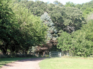
H) 3.0 miles Trail opens to meadow
I) 3.2 miles High point of trail 1199ft
J) 3.4 miles Rollercoaster downhill begins
K) 4.3 miles Small rock garden
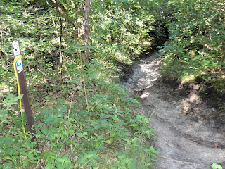
L) 4.7 miles The Gully begins
M) 6.25 miles Arrive back at vehicle
Platte River State Park is one of the best trail systems in eastern Nebraska. It is a beautiful network of fast flowing singletrack cut into the bluffs above the Platte River. These trails wind themselves up and down the forested bluffs, across open fields at the crest, and rocket down gullies in between. It is a haven of mountain biking bliss!
The drawback to the trail is the limitations on when it can be ridden. Mountain bikers are only allowed to ride before 9am and after 4pm daily on the eastern side of the park from Memorial Day to roughly October 31... which is where the best riding is. During this time, only horseback riding is allowed. The western half, aside from playing on the rocks by the waterfall, is mostly washed out roller coaster hills. These can be fun, but are nothing compared to the trails on the eastern half.
The best route through is to take a left after the park entrance, then your first right into the parking lot. Hop on your bike and start pedalling through the mostly flat section past the waterfall, then up the last trail on the right. This will come to a wider gravel trail that will lead to the observation tower at the top, but take your first left 200 feet or so up this trail and follow it to a double track on the other side of the bluff. This will lead you to the sweet eastern half.
Small rock garden
The Gully ridge on the Gully
At the top of the last climb, it's time for the Gully. Fun, fun, fun!! The Gully winds its way in splendid fashion down a gully (imagine that) throwing rollercoaster dips and dives, sandy washouts, rooty climbs, and rocky playgrounds! The rest of the ride back to the car is a good cool down and playing in the waterfall wouldn't hurt either!
Platte River State Park is located just east of South Bend on highway 66.


No comments:
Post a Comment